Record ocean and gulf temps encourage hurricanes
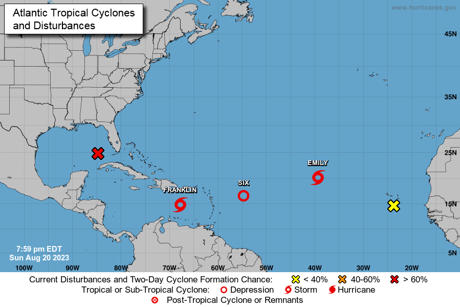
Going into this morning, the National Hurricane Center is tracking not one, but a total of five systems in the Atlantic, Caribbean, and Gulf of Mexico. The tropical disturbance in the Gulf is heading west toward Texas and could require tropical storm watches or warnings by tonight. The two tropical storms – one in the Caribbean and the other way out in the Atlantic – are not expected to impact the U.S. That leaves a tropical depression slowly creeping in our direction for now and yet another new disturbance that just formed off Africa. For the very latest throughout today and this week, check the National Hurricane Center webpage.

A look at the tropical systems in play as of 8pm last night (Sunday, August 20, 2023). From NOAA
When we consider the very rare tropical storm conditions still bearing down on Southern California this morning from Hurricane Hilary in the Pacific Ocean, the 5.1 magnitude earthquake last night just north of Los Angeles, and the huge wildfires threatening Spokane, Washington and Vancouver, British Columbia, we’re reminded of Betty Davis’ famous line from the movie All About Eve: “Fasten your seatbelts, it’s going to be a bumpy night!” In our case, a bumpy summer, especially if you work in the property & casualty insurance industry or in disaster management.
NOAA recently upgraded its hurricane season forecast. It now predicts a 60% chance of an above-normal season, up from the 30% chance it noted in May. That equates to 14 to 21 named storms, of which six to 11 will become hurricanes and two to five will reach major hurricane strength. The reason is warmer than expected water temperatures in the Atlantic. In fact, surface water temps in the part of the North Atlantic where storms form are the warmest since record-keeping began in 1950 – 2 degrees warmer than normal. Each degree counts when it comes to tropical formation, because storms feed on warm water.
It’s the same case in the Gulf of Mexico, another potential tempest for tropical activity, but even worse. During July, average water temperatures in the Gulf ran nearly 2 degrees above normal, with some areas 5 degrees higher than normal. That’s the highest on record, according to NOAA. Tampa Bay water temps hit 100 degrees one day. High water temperatures not only encourage hurricane formation but lead to higher hurricane-force wind speeds, too. They are also causing stress on our coral reefs, which we’ll get to later in this newsletter.
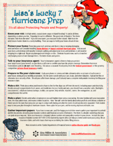
Although “Eve” is not on the official list of hurricane names this year, we would nevertheless be wise to prepare now as if a storm were coming this week. It may. And if it doesn’t, we still have another 15 weeks to go until the official end of the Atlantic Hurricane Season on November 30. If you haven’t, please see my Lisa’s Lucky 7 Hurricane Season Prep to get started!
LMA Newsletter of 8-21-23


